Can I drive the unpaved road to Bertha Peak in California
Bertha Peak is a high mountain peak at an elevation of 2.503m (8,211ft) above sea level, located in San Bernardino County, in the US state of California.
Where is Bertha Peak?
The peak is located north of Big Bear Lake, in the southern part of California within the San Bernardino National Forest.
Why is there a road to Bertha Peak?
At the summit there is a communication station and you’ll find 360-degree views of the San Bernardino Mountains and panoramic views of Big Bear Lake.
Why is it called Bertha Peak?
The peak was named after Waterton resident Bertha Ekelund in 1914.
Is the road to Bertha Peak unpaved?
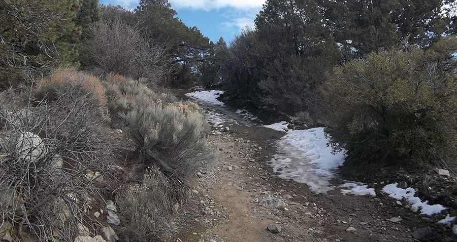
The road to the summit is totally unpaved. It’s called 2N09C, part of the Cougar Crest Trail. It comprises rocky sections and very steep parts. A 4x4 vehicle is required, though the road is closed to private vehicles. Be aware of rattlesnakes.
How long is the road to Bertha Peak?
Starting from Polique Canyon Road (2N09), the road to the summit is 2.25km (1.4 miles) long. Over this distance, the elevation gain is 200m (656 ft) and the average gradient is 8.88%.
Is the road to Bertha Peak open year-round?
Set high in the San Bernardino Mountains, the road is not plowed in winters. Snow is common until June.
Pic: Brian Powell