Keller Peak
Keller Peak is a high mountain peak at an elevation of 2.405m (7,890ft) above the sea level, located in San Bernardino County, Southern California, United States.
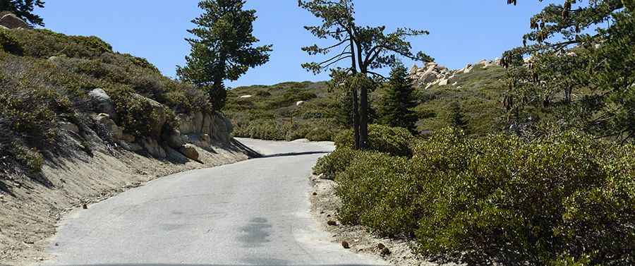
Located in San Bernardino Mountains, the road to the summit is called Keller Peak Road. It’s paved all the way to the summit. The summit was named for Ally Carlin Keller, born in San Bernardino in 1868, who at one time was an employee of the Forest Service. The journey offers an exhilarating driving experience, with superb views. There are excellent views of the San Bernardino Mountains including three lakes: Arrowhead, Gregory, and Siverwood. This is definitely one road trip that you want to record with lots of photographs. On a clear afternoon day views of the Pacific Ocean and Santa Catalina Island are possible.
The road is usually open from Memorial Day to mid-November. Nestled in the heart of the San Bernardino National Forest, the road is a narrow two lane road with many blind corners as it winds it's way up the mountainside. Due to the high elevations and exposure, the road is subject to strong winds and rapid weather changes. Please drive slowly and cautiously and keep an eye out for other vehicles as well as pedestrian traffic. At the summit is a fire lookout built in 1926. Just below the lookout there’s a memorial plaque for the WWII aircrew that lost their lives when their B-26 crashed into the peak on Dec. 31, 1941. Some of the wreckage is still visible.
The road to the summit is pretty steep. Starting from CA-18, the ascent is 9.1 km (5.7 miles). Over this distance the elevation gain is 579 meters. The average gradient is 6.36%. Be watchful of bear, mountain lion and deer.
Pic: Pavol Gombos