Great River Road is one of the Best Drives in America
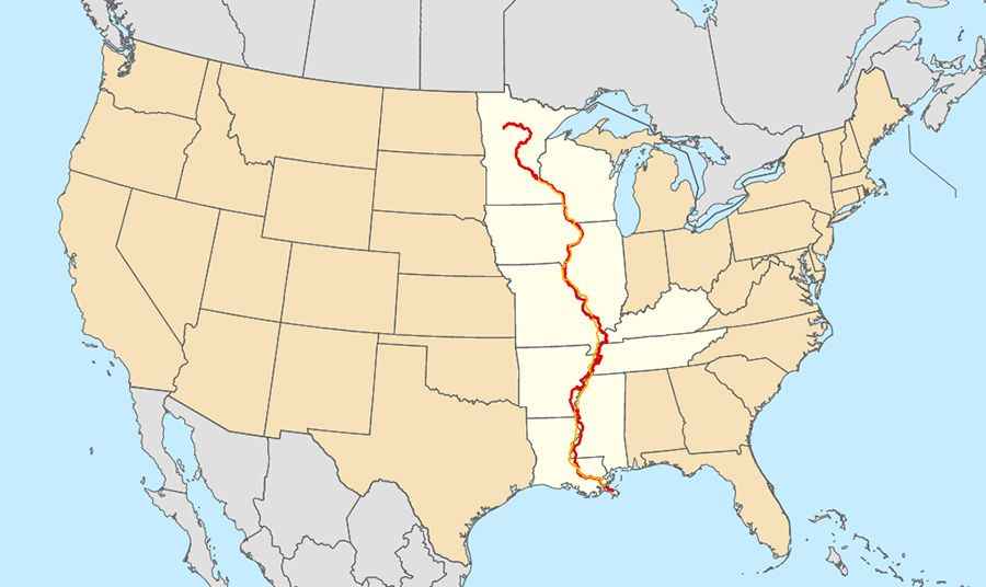
The Great River Road is a 3,000-mile national scenic byway that follows the Mississippi River through ten US states, from its headwaters at Lake Itasca in Minnesota down to the Gulf of Mexico in Louisiana. Marked by the green pilot’s wheel sign, the route combines state highways, county roads, and riverfront avenues.
| Road facts: Great River Road | |
|---|---|
| Location | MN, WI, IA, IL, MO, KY, TN, AR, MS, LA (USA) |
| Length | ~3,000 miles (4,828 km) |
| Northern Terminus | Lake Itasca State Park, Minnesota |
| Southern Terminus | Venice, Louisiana (Gulf of Mexico) |
| Surface | 100% paved (state highways and local roads) |
| Key Hazards | River fog, agricultural machinery, seasonal flooding, black ice in northern sectors |
Where does the Great River Road start and end?
The route starts at Lake Itasca State Park in northern Minnesota, where the Mississippi River begins. It runs south through Wisconsin, Iowa, Illinois, Missouri, Kentucky, Tennessee, Arkansas, and Mississippi, terminating at Venice, Louisiana, near the river delta at the Gulf of Mexico.
Is the Great River Road paved?
Yes. The entire 3,000-mile network is fully paved, utilizing established two-lane state highways, county trunks, and urban boulevards. Surface conditions vary by state, from smooth asphalt stretches to concrete river levees.
Which direction is best to drive the Great River Road?
Driving from north to south (Minnesota to Louisiana) keeps your vehicle in the lane closest to the riverbank. This positioning provides direct sightlines to the water and allows safer turnouts into scenic overlooks and river lock stations without crossing oncoming traffic.
What are the main driving hazards on the Great River Road?
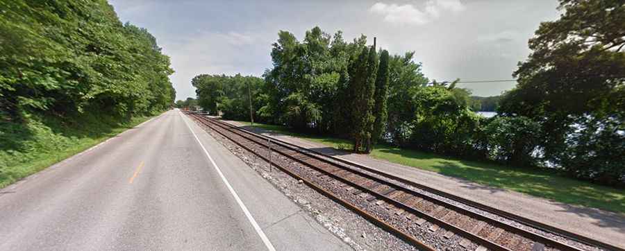
In the northern sector through the Driftless Area (Minnesota, Wisconsin, Iowa, Illinois), the road is squeezed between steep limestone bluffs and the water, requiring caution around agricultural vehicles and sharp bluff curves. In the southern Delta region, high humidity creates dense early-morning river fog that drastically reduces visibility. River flooding can also force temporary closures and detours in low-lying basin areas during spring thaw.
Is the Great River Road open year-round?
Yes, though weather hazards change drastically by region. Northern sectors in Minnesota and Wisconsin face heavy snowfall and black ice from November through March. Southern stretches remain ice-free but are vulnerable to severe summer thunderstorms and tropical weather along the lower Mississippi Delta.