How to drive the unpaved road to Carrizo Mountain in California?
Carrizo Mountain is a mountain peak at an elevation of 661m (2,168ft) above sea level, located in Imperial County, in the US state of California.
Where is Carrizo Mountain?
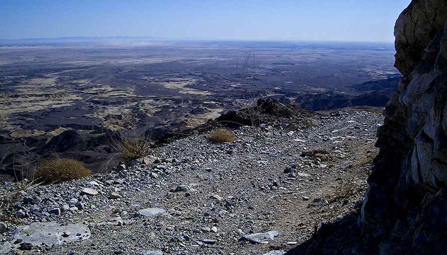
The peak is located in the southern part of California, near the border with Mexico. The summit offers some of the most expansive views in the entire California Desert. An old mine road winds through Painted Gorge and up the hills to a turn-around about 300 feet below the summit.
Is the road to Carrizo Mountain unpaved?
The road to the summit is totally unpaved. It’s called Carrizo Mountain Trail, also known as Painted Gorge Road. The road is pretty narrow with drops (width enough for one vehicle to pass at a time). It is steep, with ledgy rock and outward leans. Rocky segments can make the drive difficult. 4wd vehicle required.
How long is the road to Carrizo Mountain?
Starting from the paved Kumeyaay Highway near Ocotillo, the road to the summit is 15.4 km long. Over this distance, the elevation gain is 605 m and the average gradient is 3.92%.
Is the road to Carrizo Mountain open year-round?
Set high in the Coyote Mountains, motor vehicle access is prohibited between January 1st and June 30th for wildlife conservation purposes (protecting bighorn sheep lambing).
Pic: Thomas Teske