How to drive the unpaved road to Bingham Mine Overlook in Utah?
Bingham Mine Overlook is a natural viewpoint at an elevation of 2.748m (9,015ft) above sea level, located in Tooele County in the U.S. state of Utah. The average gradient is 9.35%.
Where is Bingham Mine Overlook?
The overlook is located south of Salt Lake City, in the northern part of Utah. At the summit there’s a big parking lot. The mine is the richest copper mine in history and the largest open-pit excavation on Earth, founded in 1903.
Is the road to Bingham Mine Overlook unpaved?
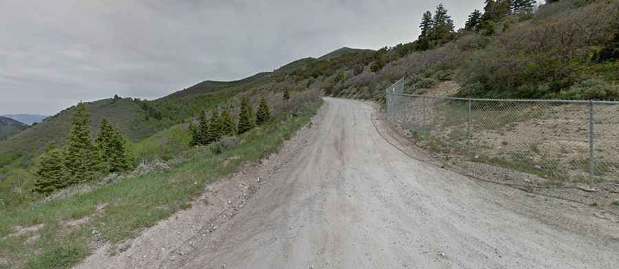
The road to the summit is totally unpaved. It is called Copper Pit Overlook Road also known as Valley Overlook Road. The road is filled with hairpin turns and switchbacks. Be careful while driving up as other cars or bikers sometimes shoot up or down the road. There are many blind spots on the way, so be extra careful there and take your time. It has not guard rails.
Can I drive my vehicle to Bingham Mine Overlook?
You can make it there with a regular compact car and no all-wheel drive is necessary when you go during a nice day. It’s not recommended for cars with a low suspension.
How long is the road to Bingham Mine Overlook?
The road is very steep. Starting from Butterfield Canyon Road the ascent is 4.02km (2.5 miles) long. Over this distance the elevation gain is 374 meters. The average gradient is 9.35%.
Is the road to Bingham Mine Overlook worth the drive?
The drive is filled with beautiful mountain scenery and the occasional wildlife sighting. The summit offers a breathtaking 360-degree view of northern Utah, with nearly 80% of Utah's population visible on a clear day.
Is the road to Bingham Mine Overlook open year-round?
Set high in the Oquirrh Mountains, the road is usually impassable from October to June (weather permitting).