How to drive the unpaved Lost Trail Road in Colorado?
Lost Trail Road is a high mountain trail located in Gunnison County, in the US state of Colorado.
Where is the Lost Trail Road?
The road is located in the central part of Colorado, within the White River National Forest.
Is the Lost Trail Road unpaved?
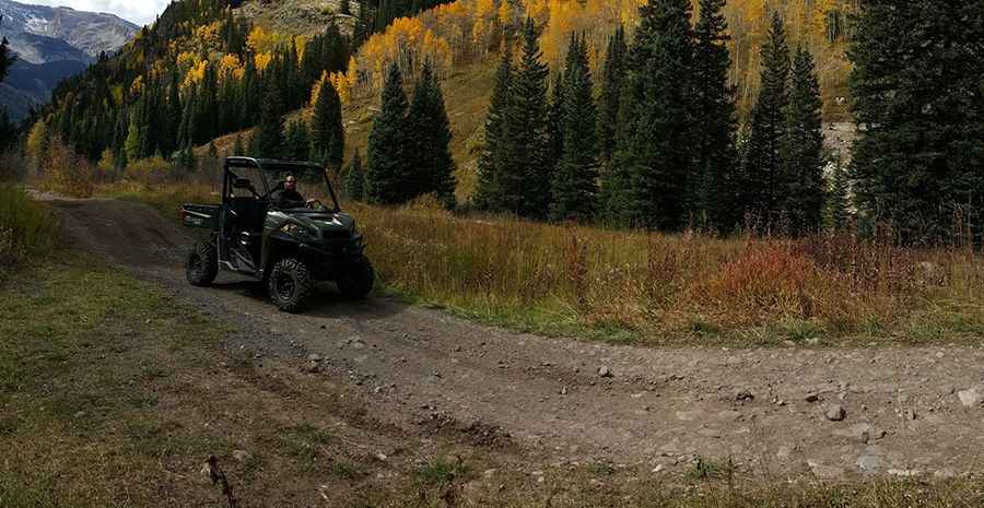
The road is totally unpaved. It comprises narrow parts and steep sections via several hairpin turns. 4wd vehicle with high clearance required.
How long is the Lost Trail Road?
The road is 7.9 miles long, running west-east from Marble to Crystal.
Is the Lost Trail Road open year-round?
Set high in the Elk Mountains, the road tops out at 3.324m (10,905ft) above sea level. It closes seasonally in the winter. The summer season presents remarkable wildflowers and panoramic views.
Pic: Brad S