How to drive the unpaved road to White Bark Vista in California
White Bark Vista is a natural overlook at an elevation of 2.943m (9,655ft) above sea level, located in Fresno County, in the US state of California. It’s one of the highest roads of California.
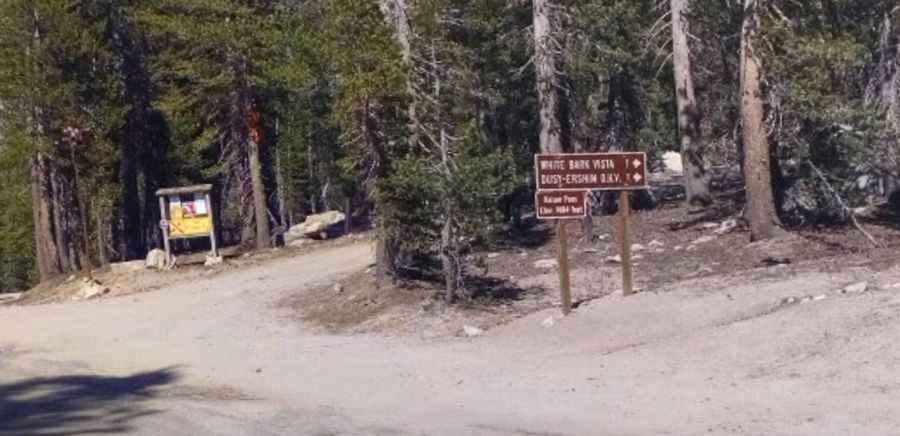
Where is White Bark Vista?
The vantage point is located above Fresno, in the east-central part of California, within the Sierra National Forest. The summit features spectacular views of the Sierra Crest, Florence and Edison Lakes.
Is the road to White Bark Vista unpaved?
The road to the summit is totally unpaved. It’s mostly graded with one small rocky spot near the top. 4wd highly recommended.
How long is the road to White Bark Vista?
Starting at the paved Kaiser Pass, the road to the summit is 1.44km (0.9 mile) long. Over this distance, the elevation gain is 102m (335 ft) and the average gradient is 7.08%.
Is the road to White Bark Vista open year-round?
Set high in the Sierra Nevada, the road ends at 2.993m (9,819ft) above sea level, to the southeast of the overlook. It’s not plowed in winters.
Pic: Hey NowTV