How to drive the unpaved road to the lookout at Breckenridge Mountain in California?
Breckenridge Mountain is a high mountain peak at an elevation of 2.291m (7,516ft) above sea level, located in Kern County, in the US state of California. It hosts the southernmost lookout on the Sequoia National Forest
Where is Breckenridge Mountain?
The peak is located approximately 50 miles east of Bakersfield, in the central part of California, within the Sequoia National Forest.
Why is there a road to Breckenridge Mountain?
At the summit there are several TV antennas, microwave relay towers and a lookout tower built in1942. Used as an aircraft warning site in World War II, it is in active service. The lookout is staffed full-time during fire season and generally open to the public.
Is the road to Breckenridge Mountain unpaved?
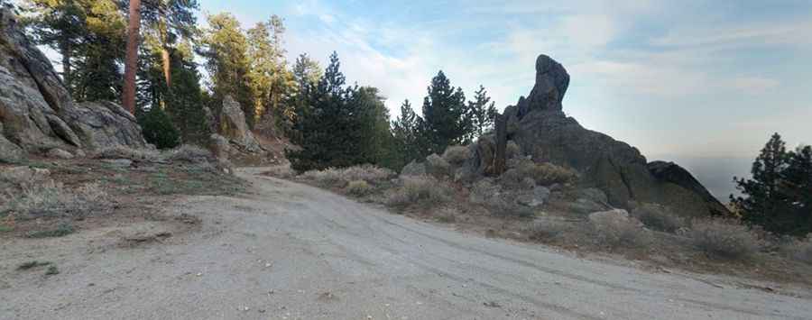
The road to the summit is totally unpaved. It’s called Breckenridge Lookout Road. The road is in terrible condition, but the views and the seclusion are great. You'll seldom see a car on the road.
How long is the road to Breckenridge Mountain?
Starting from Breckenridge Road, the road to the summit is 6.2 km long. Over this distance, the elevation gain is 321 m and the average gradient is 5.17%. A 4x4 vehicle with high clearance is required.
Is the road to Breckenridge Mountain open year-round?
Located just south of the Greenhorn Mountains, the road is usually impassable in winters.
Pic: Peter Reinold