How to drive the unpaved road to the lookout at Bonanza King in California?
Bonanza King is a high mountain peak at an elevation of 2.120m (6,955ft) above sea level, located in Trinity County, in the US state of California.
Where is Bonanza King?
The peak is located in the northern part of California, within the Shasta-Trinity National Forest.
Why is it called Bonanza King?
The name of the peak is derived from the extensive gold mining activities that still persist in the area.
Why is there a road to Bonanza King?
At the summit there’s a fire lookout tower. It is usually staffed during the fire season. The views from the summit are fantastic looking east to Mt Shasta and Castle Crags, west into the Trinity Alps and south to Trinity Lake.
Is the road to Bonanza King unpaved?
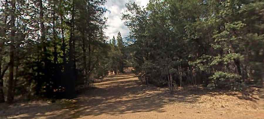
The rough road to the summit is totally unpaved. A 4WD vehicle is required. It features narrow parts and very steep sections.
Is the road to Bonanza King open year-round?
Set high in the Klamath Mountains-Trinity Mountains, the road is not plowed in winters. This road is closed from October 30th thru May 1st.
How long is the road to Bonanza King?
Starting at the paved East Side Road, the road to the summit is 24.78km (15.4 miles) long. Over this distance, the elevation gain is 584 m and the average gradient is 6.92%.