Can I drive the unpaved road to Darley Mountain in Colorado?
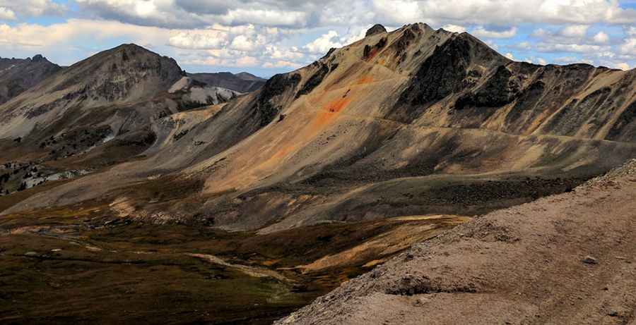
Darley Mountain is a high mountain peak at an elevation of 3,997m (13,113ft) above sea level, located in Ouray County, in the US state of Colorado. Reaching an altitude near the summit via an old mining track, it's one of the highest roads in Colorado, though motorized vehicles are currently prohibited on the final trail sector.
| Road facts: Darley Mountain | |
|---|---|
| Location | Ouray County, Colorado (USA) |
| Elevation at Road End | 3,997 m (13,113 ft) |
| Length | 1.7 km (1.05 miles) from Engineer Pass |
| Average Gradient | 6.64% |
| Surface | 100% unpaved (loose rock, old mining roadbed) |
| Access Level | Closed to motorized vehicles (Gated) |
| Connecting Routes | Engineer Pass, Million Dollar Highway |
Where is Darley Mountain located?
The peak is located east of Telluride in southwestern Colorado, within the Uncompahgre National Forest. The track branches off near Engineer Pass, near the famous Million Dollar Highway.
Is the road to Darley Mountain open to motorized vehicles?
No. Motorized access is strictly prohibited. The route is currently blocked by an official gate marked "No Motorized Vehicles," leaving the final ascent strictly for foot traffic and non-motorized users.
Is the road to Darley Mountain unpaved?
Yes. The entire 1.7 km route is unpaved, consisting of a rough, wide old mining track littered with loose rock and scree. It switchbacks up the mountain face to within 100 feet of the actual summit.
How long is the road to Darley Mountain?
Starting from Engineer Pass, the track runs for 1.7 km (1.05 miles). Over this distance, it gains 113 meters (370 ft) in elevation with a steady average gradient of 6.64%.
Is the road to Darley Mountain open year-round?
No. Sitting high in the San Juan Mountains above 13,000 feet, the unplowed route is completely buried under heavy snow and ice from early autumn through late spring.
Pic: Roy O