How to drive the unpaved road to Beaver Creek Mountain in Colorado?
Beaver Creek Mountain is a high mountain peak at an elevation of 3.488m (11,443ft) above sea level, located in Eagle County, in the US state of Colorado.
Where is Beaver Creek Mountain?
The peak is located south of Avon, in the central part of Colorado, within the White River National Forest.
Is the road to Beaver Creek Mountain unpaved?
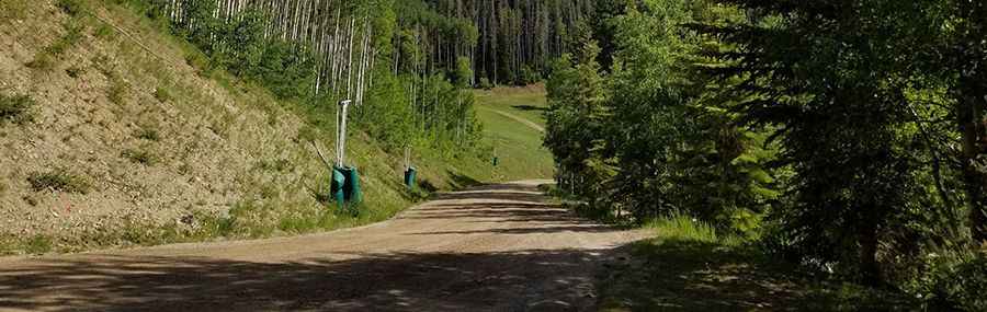
The road to the summit is totally unpaved, narrow and very steep. It’s a chairlift access trail. 4x4 vehicles only.
How long is the road to Beaver Creek Mountain?
Starting from Beaver Creek, the road to the summit is 11.26km (7 miles) long. Over this distance, the elevation gain is 986m (3,235 ft) and the average gradient is 8.75%.
Is the road to Beaver Creek Mountain open year-round?
Set high in the Sawatch Range of the Rocky Mountains, the road is totally impassable in winters. This trail can be done only a very narrow time-frame in the summer (end of August).
Pic: Brian Embry