How to drive the unpaved road to Blowhard Mountain in Utah
Blowhard Mountain is a high mountain peak at an elevation of 3.264m (10,708ft) above the sea level, located in Iron County, in the US state of Utah. It’s one of the highest roads of Utah.
Where is Blowhard Mountain?
The peak is located south of North View, in the southwestern part of Utah, within the Dixie National Forest.
Why is there a road to Blowhard Mountain?
At the summit there’s a powerline radar station.
Is the road to Blowhard Mountain unpaved?
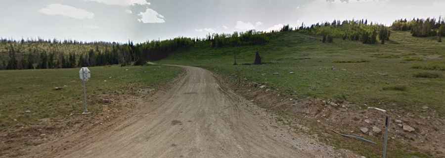
The road to the summit is totally unpaved, in good condition. It’s called Forest Road 277 (Blowhard Station Road). Most passenger vehicles can get it.
Is the road to Blowhard Mountain open year-round?
Set high in the Markagunt Plateau, the road is not plowed in winters. It’s usually closed from November through May.
How long is the road to Blowhard Mountain?
Starting from the paved UT-148, the road to the summit is 2.09km (1.3 miles) long. Over this distance, the elevation gain is 113m (371 ft) and the average gradient is 5.40%.