How to drive the paved road to Promontory Divide in Colorado
Promontory Divide is a high mountain pass at an elevation of 2.621m (8,599ft) above sea level, located in the US state of Colorado.
Where is Promontory Divide?
The pass is located on the boundary between Custer and Huerfano counties, in the southern part of Colorado, within the San Isabel National Forest.
Is the road to Promontory Divide paved?
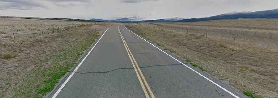
The road to the summit is fully paved, in very good condition. It’s called Colorado State Highway 69 (CO-69).
How long is the road to Promontory Divide?
The road is 33 miles long, running north-south from Westcliffe (the county seat of Custer County) to Gardner (in Huerfano County).
Is the road to Promontory Divide open in winters?
Set high in the Wet Mountains, at the southern part of the Wet Mountain Valley, the road is open year-round.