How to drive the paved road to Park Point in Colorado?
Park Point is a high mountain peak at an elevation of 2.603m (8,540ft) above sea level, located in Montezuma County, in the US state of Colorado. The views are breathtaking all through the year.
Where is Park Point?
The peak is located in the southwestern part of Colorado, within the Mesa Verde National Park.
Why is there a road to Park Point?
There is a fire lookout on top constructed in 1939 by the CCC. There are two additional lookouts with heavy duty telescopes. At the summit there’s a parking lot. The historic Park Point Fire Lookout is still used today by the park during fire season to communicate lightning, weather, and fire information for the park and the surrounding areas.
Is the road to Park Point worth the drive?
On a clear day the views at the summit include sights of Colorado, Utah, New Mexico and Arizona. It provides visitors with unobstructed 360-degree views of the surrounding mountains and valleys and include Angel Peak NM, Shiprock, The Abajos, the La Sals, the Wilson Group, the San Miguels and The La Platas.
Is the road to Park Point paved?
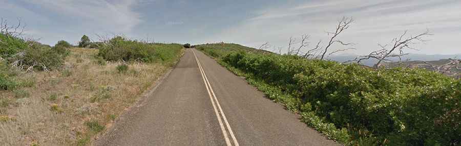
The road to the summit (the highest point of Mesa Verde National Park) is fully paved. It’s called Mesa Top Ruins Road.
How long is the road to Park Point?
Starting from Mesa Top Ruins Road, the road to the summit is 0.96km (0.6 mile) long. Over this distance, the elevation gain is 46m (154 ft) and the average gradient is 4.79%.
Is the road to Park Point open year-round?
The road up to Park Point is not plowed, so access is limited during the winter months.