Gird Point: Driving the 23 hairpins of the Sapphire Mountains in Montana
Located in the heart of Ravalli County, Montana, Gird Point is a high mountain summit reaching an elevation of 2,295m (7,529ft) above sea level. Perched within the Bitterroot National Forest, the drive to the top is a rewarding but demanding backcountry expedition, offering one of the most comprehensive views of the Montana wilderness.
| Road facts: Gird Point | |
|---|---|
| Location | Ravalli County, Montana, USA |
| Elevation | 2,295 m (7,529 ft) |
| Road Number | 714-Gird Point Road |
| Length | 24.6 km (15.3 miles) |
| Average Gradient | 4.3% |
How to get by car to Gird Point in Montana?
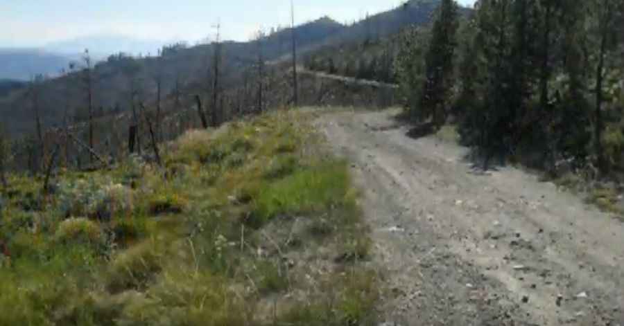
The journey to the summit begins at the junction with the famous Skalkaho Highway. From this paved starting point, the route transitions into the Gird Creek Road (714-Gird Point Road), a winding mountain path that stretches for 15.3 miles. While the average gradient sits at 4.3%, don't let the numbers fool you; the road overcomes an elevation gain of 3,484 feet and features 23 sharp hairpin turns. The track is gravel, rocky, and can be "tippy" and bumpy in several sections, requiring a 4x4 vehicle with decent clearance to navigate the off-camber stretches and loose stones.
What is at the summit of Gird Point?
At the very top of the peak stands a historic lookout tower built in 1939. This structure was strategically placed to offer a 360-degree surveillance point over the Sapphire, Bitterroot, and Anaconda Pintler mountain ranges. Sitting high above the valley floor, the lookout provides panoramic views that are hard to match in the region. The geography here is vast and wild, and the tower serves as a silent reminder of the pre-satellite era of fire detection in the American West.
Is the road to Gird Point open in winter?
No, the 714-Gird Point Road is strictly closed during the winter due to heavy snowfalls that bury the Sapphire Mountains. The high elevation of 2,295 meters means that snow can block the upper hairpins well into late spring or early summer. Even during the open season, the weather in the Bitterroot National Forest is unpredictable. Before heading out, you should check the local forecast, as mountain storms can turn the rocky surface into a slippery mess. The isolation of the route means you must be self-sufficient, as there is no help nearby if you run into mechanical trouble on the steep, winding climb.
Why is Gird Point a technical drive?
The challenge of Gird Point isn't just the incline, but the sustained nature of the drive. Maintaining focus through 23 hairpins on a bumpy, gravel surface is fatiguing. The "tippy" sections—where the road tilts toward the downslope—can be nerve-wracking for those not used to high-mountain tracks. It is a route that rewards the patient driver with incredible solitude and a unique perspective on three different mountain ranges, but it demands respect for its rocky surface and the technical maneuvers required at each switchback.
Pic: sapphirepeak