Road trip guide: Conquering Castle Butte in Idaho
Castle Butte is a high mountain peak at an elevation of 2.032m (6,666ft) above sea level, located in Idaho County, in the US state of Idaho.
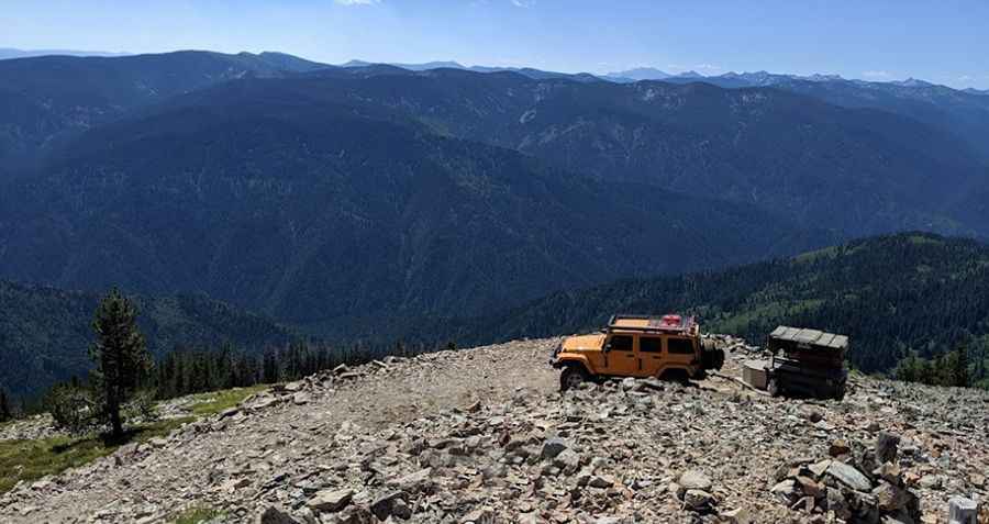
Where is Castle Butte?
The peak is located in the northern part of Idaho, within the Clearwater National Forest. Cell phone coverage is not available.
Why is there a road to Castle Butte?
At the summit there’s a lookout tower built in 1950. It offers breathtaking 360-degree views of the Selway-Bitterroot Wilderness, the Seven Devils Mountains, the Great Burn area and the deep canyons of the North Fork Clearwater River.
Is the road to Castle Butte unpaved?
The rough road to the summit is totally unpaved, very rocky and narrow. It’s called Castle Butte Road. 4x4 vehicle with high clearance required. It is not recommended for large RVs, vehicles with low ground clearance or trailers.
How long is the road to Castle Butte?
Starting from Lolo Motorway (Forest Road 500) -a primitive, single-lane road constructed by the Civilian Conservation Corps in the early 1930s-, the road to the summit is 2.5 km long. Over this distance, the elevation gain is 174 m and the average gradient is 6.96%.
Is the road to Castle Butte open year-round?
Set high in the Clearwater Mountains, the road is not plowed in winters. It is generally open and free of snow from July through September, but conditions vary annually.
Pic: Dan Smith