How to drive the unpaved road to the lookout at Burnt Knob in Idaho
Burnt Knob is a high mountain peak at an elevation of 2.466m (8,090ft) above sea level, located in Idaho County, in the US state of Idaho.
Where is Burnt Knob?
The peak is located in the northern part of Idaho, within the Nez Perce-Clearwater National Forests.
Why is there a road to Burnt Knob?
At the summit there’s a lookout tower built in 1930. It is maintained for emergency use.
Is the road to Burnt Knob unpaved?
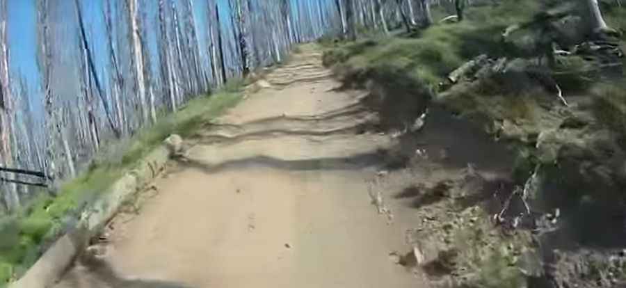
The road to the summit is totally unpaved. It’s called Forest Road 468-C (Road 468-C). This is an unmaintained, rocky road and caution should be used when driving on. 4x4 vehicles required. It features very steep parts.
How long is the road to Burnt Knob?
Starting from Nez Perce Trail Road, the road to the summit is 2.57km (1.6 miles) long. Over this distance, the elevation gain is 295m (968 ft) and the average gradient is 11.47%.
Is the road to Burnt Knob open year-round?
Set high in the southern Clearwater Mountains, the road is not plowed in winters. It is usually impassable from October to June.
Pic&video: Eric Blume