Road trip guide: Conquering Sunset Mountain in ID
Sunset Mountain is a high mountain peak at an elevation of 2.393m (7,851ft) above the sea level, located in Boise County, in the U.S. state of Idaho.
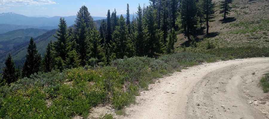
Set high in the Boise National Forest, in southwest Idaho, the road to the summit is totally unpaved. It’s called Sunset Mountain Road (Forest Road 316). The road has a few rough places, so a high clearance vehicle is required. The summit hosts a lookout tower built in 1958. The views are extensive with Boise Mountains in all directions.
Located in the northwestern corner of Boise Range, this road is usually closed from late October through late June or early July (depending on snow). It is not generally snow-free until late June or even July in some years. The road to the summit is very steep, hitting a 26% of maximum gradient through some of the ramps. Starting at Mores Creek Summit, the ascent is 7.40km (4.6 miles) long. Over this distance the elevation gain is 522 meters. The average gradient is 7.05%.
Pic: Sebastien D.