Driving the steep Forest Road 4793 to Cinnamon Butte in Oregon
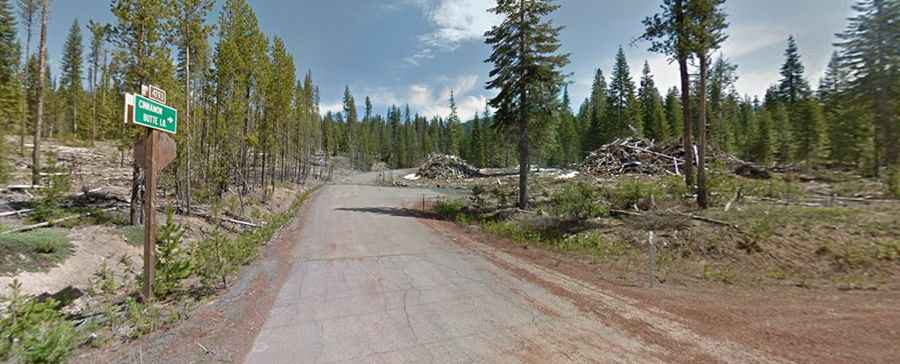
Cinnamon Butte is a basaltic scoria cone reaching an elevation of 1,958 meters (6,423 ft) above sea level, located in Douglas County, in the US state of Oregon. Tucked away in the Umpqua National Forest within the Cascade Range, the summit has hosted an active lookout tower since 1955. Accessing this peak requires driving Forest Road 4793, an unpaved route that starts as gravel but quickly turns into a steep climb over volcanic soil and unprotected ledges.
| Road facts: Cinnamon Butte (FR4793) | |
|---|---|
| Location | Douglas County, Oregon (USA) |
| Elevation | 1,958 m (6,423 ft) |
| Length | 5 km (3.1 miles) |
| Average Gradient | 9.7% |
| Surface | Unpaved (Gravel and volcanic dirt) |
How challenging is the climb on Forest Road 4793?
The 3.1-mile drive from the paved Rogue-Umpqua Scenic Byway to the summit is a demanding mountain ascent. While the first section is manageable gravel, the track changes completely as soon as you hit the natural dirt sections. With an elevation gain of 1,588 feet, the road hits an average gradient of 9.7%, forcing the engine to work hard on constant steep ramps. The track becomes off-camber, tilting toward the edge of the mountain. In this area affected by past forest fires, the lack of root structure makes the ground unstable, and any rain transforms the volcanic dust into a slick paste where wheels lose traction easily.
What are the main hazards on the Cinnamon Butte lookout road?
The primary hazard on FR4793 is the combination of steep slopes and the total absence of guardrails. As you drive through the dead forest, the road narrows significantly. The soil is composed of loose scoria and ash, which does not provide a firm grip. Fallen trees and debris from the burnt pines frequently block the narrow path. Furthermore, the sideways tilt of the final ascent shifts the vehicle's weight unevenly, making it easy to slide toward the soft shoulder. If you are scared of heights, the exposed drop-offs along the last mile will test your focus.
Is the road to Cinnamon Butte accessible in winter?
No. Due to its high elevation in the Cascades, the road is buried under heavy snow for several months, and there is no snow-clearing service for Forest Road 4793. Even during spring or autumn, a single rainstorm can make the dirt sections impassable. The best time to drive to the lookout is mid-summer when the track is dry. Attempting the 9.7% climb in wet conditions is dangerous; the mud offers zero traction, and having to reverse down a narrow, tilted track can easily lead to getting stuck or rolling over.
What mechanical prep is needed for the 9.7% Oregon climb?
Before leaving the paved highway, verify that your tires are suitable for soft volcanic soil, preferably with reinforced sidewalls. Check your four-wheel drive system and low-range gears, as the sustained 9.7% gradient requires steady torque to keep the motor from overheating during the slow crawl. Ensure your cooling system works perfectly, as there is very little airflow in the timbered sections of the butte. Carry basic recovery gear, including a shovel and traction boards, because the soft scoria can swallow tires if the vehicle loses momentum. In this remote sector of the Umpqua National Forest, you must be self-sufficient, as help can take hours to arrive.