How to drive the unpaved road to the lookout at Dixie Butte in Oregon
Dixie Butte is a high mountain peak at an elevation of 2.317m (7,601ft) above sea level, located in Grant County, in the US state of Oregon.
Where is Dixie Butte?
The peak is located in the eastern part of Oregon, within the Malheur National Forest.
Why is there a road to Dixie Butte?
A fire lookout (staffed during summer months) built in 1968 and two moderate sized antenna are present on the summit.
Is the road to Dixie Butte unpaved?
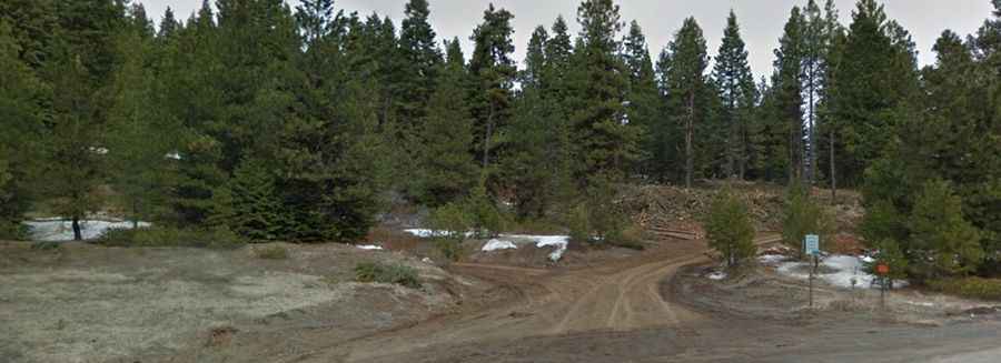
The road to the summit is totally unpaved. It’s called Forest Service Road 2610. It’s a one-lane dirt road, narrow and steep with few places pull out. Not for the faint hearted. 4x4 vehicles only.
How long is the road to Dixie Butte?
Starting from Dixie Summit, on the paved US-26, the road to the summit is 8.36km (5.2 miles) long. Over this distance, the elevation gain is 705m (2,313 ft) and the average gradient is 8.43%.
Is the road to Dixie Butte open year-round?
Set high in the heart of the Blue Mountains, the road is not plowed in winters and usually impassable from October to June (weather permitting).