How to get by car to Lookout Mountain in Ravalli County?
Lookout Mountain is a high mountain peak at an elevation of 2,387m (7,831ft) above sea level, located in Ravalli County, in the US state of Montana.
Where is Lookout Mountain?
The mountain is located in the southwestern part of Montana near the Idaho border, within the Bitterroot National Forest.
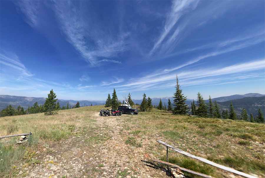
What’s at the summit of Lookout Mountain?
At the summit, there’s a lookout tower built in 1969. It was moved to its current location in 1974 and is regularly staffed during the fire season.
Is the road to Lookout Mountain unpaved?
The road to the summit is totally unpaved. It comprises narrow parts, many turns, a few hairpin turns, and steep sections, hitting a 12% maximum gradient through some ramps. It’s called Lookout Mountain Road. A 4x4 vehicle is required.
How long is the road to Lookout Mountain?
Starting from Hughes Creek Road in Alta, the road to the summit is 15.44 km (9.6 miles) long. Over this distance, the elevation gain is 790m and the average gradient is 5.11%.
Is the road to Lookout Mountain open in winter?
Set high in the Sapphire Mountain Range, the road is usually impassable in winter. Always check the Bitterroot National Forest access alerts before planning your trip.
Pic: Matt Miller