How to drive the unpaved road to the lookout at Monument Ridge in Wyoming?
Monument Ridge is a high mountain peak at an elevation of 2.518m (8,261ft) above sea level, located in Sublette County, in the US state of Wyoming.
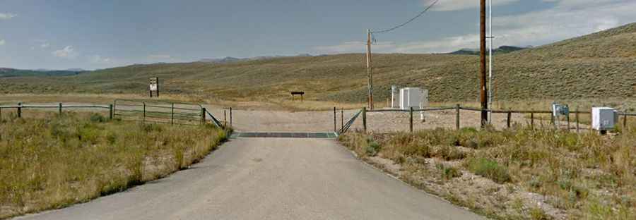
Where is Monument Ridge?
The summit is located in the western part of Wyoming, within the Bridger-Teton National Forest.
Why is there a road to Monument Ridge?
At the summit there’s an abandoned fire lookout tower.
Is the road to Monument Ridge unpaved?
The road to the summit is totally unpaved. It’s called Forest Road 30533. It’s an easy forest service road (4x4 not really required). This is on the Jeep trail website so if you have a jeep you can get a tag for it. This trail may be very easy or completely impassable depending on the weather.
How long is the road to Monument Ridge?
Starting from Forest Road 30531, the road to the summit is 2.73km (1.7 miles) long. Over this distance, the elevation gain is 173m (568 ft) and the average gradient is 6.33%.
Is the road to Monument Ridge open year-round?
Set high in the Gros Ventre Range, the road is not plowed in winters.