How to drive the unpaved road to the lookout at Parkview Mountain in Colorado
Parkview Mountain is a high mountain peak at an elevation of 3.442m (11,292ft) above sea level, located in Jackson County, in the US state of Colorado.
Why is there a road to Parkview Mountain?
There is a historic fire lookout on the summit. It was built in 1916 and used until 1948. It fell into disrepair, but has recently been restored to usable condition. It was one of the highest fire lookouts in the nation.
Is the road to Parkview Mountain unpaved?
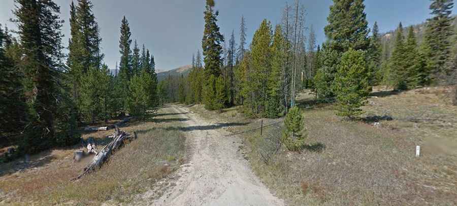
Located in the northern part of Colorado, the road to the summit is totally unpaved. It’s called Waterton Vly. The drive is difficult, with narrow parts, dangerous drops and 17 hairpin turns. A 4x4 vehicle is required.
How long is the road to Parkview Mountain?
Starting from Willow Creek Pass on the paved CO-125, the road to the summit is 5.79km (3.6 miles) long. Over this distance, the elevation gain is 494m (1,621 ft) and the average gradient is 8.53%.
Is the road to Parkview Mountain open year-round?
Set high in the Rabbit Ears Range of the Rocky Mountains, the road is totally blocked by snow in winters.