How to drive the unpaved road to Cline Butte in Oregon
Cline Butte is a mountain peak at an elevation of 1.250m (4,101ft) above sea level, located in Deschutes County, in the US state of Oregon.
Where is Cline Butte?
The peak is located west of Redmond, in the central part of Oregon.
Why is there a road to Cline Butte?
At the summit there’s a radio station. You can't quite get to the very top due to barbed wire fence protecting cell tower gear.
Is the road to Cline Butte unpaved?
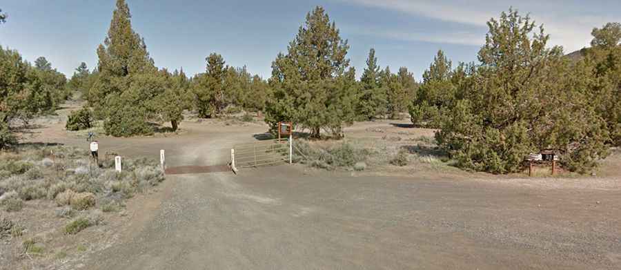
The rough dirt road to the summit is totally unpaved, with narrow parts, lots of loose rocks and steep sections, running through high desert scenery. A 4x4 vehicle is required.
How long is the road to Cline Butte?
Starting from Cline Falls Road, the ascent is 4.02km (2.5 miles) long. Over this distance the elevation gain is 286 meters. The average gradient is 7.15%.
Is the road to Cline Butte open year-round?
The road is open year-round, but the best riding is October—May.