How to drive the unpaved Wooden Pole Powerline Road in Nevada?
Wooden Pole Powerline Road is a rough and bumpy road located in the heart of Clark County, in the U.S. state of Nevada.
Where is the Wooden Pole Powerline Road?
The road is located north of Mount Charleston, in the southern part of Nevada, within the Humboldt-Toiyabe National Forest.
Is the Wooden Pole Powerline Road unpaved?
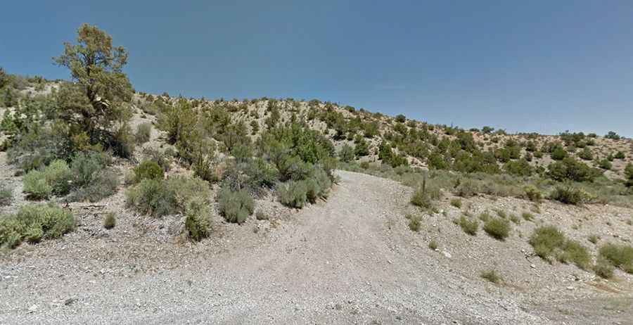
The road, also known as Forest Road 577, is totally unpaved, with some pretty steep rocky hills. A 4x4 vehicle with high clearance is recommended. This is not an extreme 4WD road, but there are parts that need good ground clearance and quite a lot of ascent/decent will be fairly steep. The ride is rather remote, so you need to be prepared.
How long is the Wooden Pole Powerline Road?
The road is 4.6 miles long, running south-north from the paved Kyle Canyon Road (NV-157) to Lucky Strike Road, near Angel Peak. This a great trail for those who want an enjoyable drive with mild challenges and fantastic views.
Is the Wooden Pole Powerline Road dangerous in winters?
Tucked away in the Spring Mountains, the road is not recommended in the winter if snow is on the ground.