How to drive the unpaved road to Butch Cassidy Pass in Nevada
Butch Cassidy Pass is a mountain pass at an elevation of 1.217m (3,992ft) above sea level, located in Nye County, in the US state of Nevada.
Where is Butch Cassidy Pass?
The pass is located north of Pahrump, in the southern part of Nevada. The trail leads to a petroglyph site and an abandoned gold mine called Johnnie Mine. Do not enter the Johnnie Mill site. After World War II, the entire site was purchased and was privately owned as it still is today.
Why is it called Butch Cassidy Pass?
The pass gets its name from a local Nevada desert legend involving the outlaw Butch Cassidy (Robert LeRoy Parker). While official history states that Cassidy and the Sundance Kid died in a shootout with the Bolivian army in 1908, a popular myth claims he survived, returned to the US under an alias, and lived hidden for decades. Local lore suggests he hid in the abandoned mining town of Johnnie—reached via the trail—where he allegedly died in 1944 at age 79 and was buried in an unmarked grave near the mine. Locals named the pass and track (Butch Cassidy Pass / Butch Cassidy Road) after this story, though it remains pure desert folklore with no historical proof.
Is Butch Cassidy Pass unpaved?
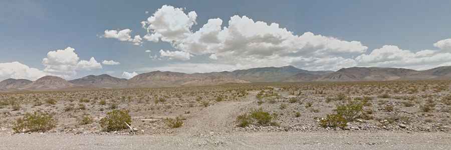
The road to the summit is totally unpaved, rough and rocky in parts. It’s called Johnnie Mine Trail (aka Butch Cassidy Road). A 4x4 vehicle is required.
How long is Butch Cassidy Pass?
Starting and ending at the paved NV-160, the road to the summit is 7.2 miles long.
Is Butch Cassidy Pass open in winters?
Set high in the Spring Mountains, the road is usually open year-round. Remote Nye County trails lack water, shade, and cellular service; bring plenty of water and proper navigation gear.