Abajo Loop Scenic Backway
Abajo Loop Scenic Backway is a very exciting journey located in San Juan County, in the southeastern portion of the U.S. state of Utah. The trail loops up through the forested Abajo Mountains north of Blanding, climbs to nearly 11,000 ft, then descends to Monticello. The road is single-lane dirt/gravel and is impassable when wet.
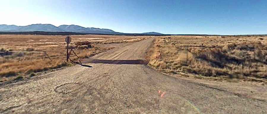
This 39-mile mountain drive climbs through the mountains between Monticello and Blanding. Located within the Manti-La Sal National Forest, the single lane graded gravel or dirt road is rough and rocky. High clearance and stiff suspension are recommended. Although suitable for passenger vehicles during late spring through fall, this route is not recommended for large RVs or trailers. The route is impassable during winter and after rain storms. Inquire in Blanding about road conditions to determine whether your vehicle is up to the task.
The journey offers an exhilarating driving experience, with superb views. An incredible journey, an unforgettable experience. The mountain scenery and the views of the southern part of Canyonlands National Park are superb. This is definitely one road trip that you want to record with lots of photographs. There are lots of viewpoints, official and unofficial. The Abajo Loop leads from the desert floor and red rock canyons to steep mountains over 11,000 feet high (at North Creek Pass), with overlooks and panoramic views. The road is a delight to drive, with every kind of twist and turn.