How to drive the unpaved road to Chopaka Mountain in Washington
Chopaka Mountain is a high mountain peak at an elevation of 1.903m (6,243ft) above sea level, located in Okanogan County, in the U.S. state of Washington. It’s one of the highest roads of Washington.
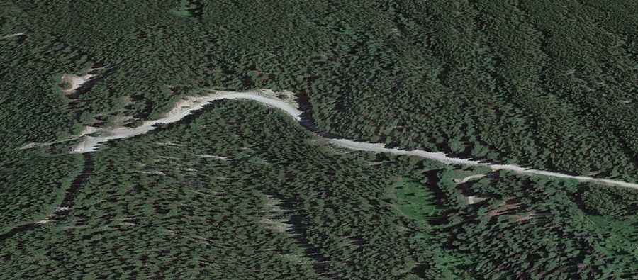
Where is Chopaka Mountain?
The peak is located in the northern part of Washington, along the Canada–US border, within the Okanogan-Wenatchee National Forest. At the summit, part of the Chopaka Mountain Natural Area Preserve, there’s a parking lot for the Cold Springs Trailhead.
Is the road to Chopaka Mountain unpaved?
The road to the summit is totally unpaved. It’s called Ninemile Creek Road. It’s doable by most street-legal vehicles in fair weather.
How long is the road to Chopaka Mountain?
Starting from Toats Coulee Road, the road to the summit is 17.5 km long. Over this distance, the elevation gain is 1494 m and the average gradient is 8.53%.
Is the road to Chopaka Mountain open year-round?
Set high in the Okanogan Range of the North Cascades, the road is not plowed in winters.