How to drive the unpaved road to Nogal Peak in New Mexico
Nogal Peak is a high mountain pass at an elevation of 2.685m (8,809ft) above sea level, located in Otero County, in the US state of New Mexico.
Where is Nogal Peak?
The pass is located west of Angus, in the Southern White Mountain Wilderness, in the southeastern part of New Mexico. At the summit there’s a parking lot for the Crest Trailhead.
Is the road to Nogal Peak unpaved?
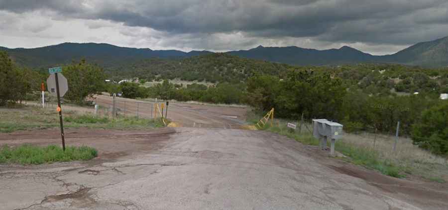
Tucked away in the Lincoln National Forest, the road to the summit is totally unpaved. It’s called FS400, also known as Nogal Canyon Road. It features 3 sharp hairpin turns and very steep parts. A 4x4 vehicle is required.
How long is the road to Nogal Peak?
Starting from Nogal, the road to the summit is 13.35km (8.3 miles) long. Over this distance, the elevation gain is 670m (2,201 ft) and the average gradient is 5.01%.
Is the road to Nogal Peak open year-round?
Set high in the Sierra Blanca, the road is not plowed in winters.