Lovell Summit
Lovell Summit is a high mountain pass at an elevation of 2.075m (6,807ft) above the sea level, located in Clark County, in the U.S. state of Nevada. The road to the summit is winding, gaining elevation to above 6000 feet.
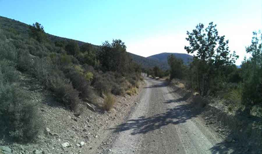
The road to the summit, located within La Madre Mountain Wilderness Area and Spring Mountains National Recreation Area, is gravel, rocky, tippy and bumpy at times. It’s called Forest Service Road 45536 (Lovell Canyon. Summit Road). Road conditions are always changing. The ride is rather remote, so you need to be prepared. In case of a breakdown, there is very little in the way of passing traffic or inhabitants around, and no cell phone service in parts. It’s a backcountry connector route between Lovell Canyon and Trout Canyon.
Located on the west side of the Spring Mountains National Recreation Area, winter comes early and stays late on this trail, so you may only be able to safely run it in the middle of the summer. 4x4 vehicle recommended. Its many twists, turns and narrows can pose a challenge to even the most experienced drivers. The road is not easy, though. Up, down, right, left all the time. The road is pretty steep, with some sections up to 10.7%. It's not a difficult trail, but it's quite soft and can get icy in winter.
Pic: Nick Nickerson