How to drive the unpaved road to Burnt Ridge in Utah?
Burnt Ridge is a high mountain ridge at an elevation of 3073m (10085ft) above sea level, located in Duchesne County, in the U.S. state of Utah.
Where is Burnt Ridge?
The ridge is located north of Duchesne, in the northeastern part of Utah.
Is the road to Burnt Ridge unpaved?
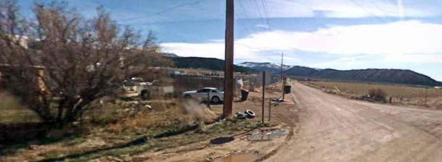
The road to the summit is totally unpaved, with rocks and loose gravel. It’s called Forest Road 416. A 4x4 vehicle is recommended. It’s totally impassable in winters.
How long and steep is the road to Burnt Ridge?
Starting from Forest Road 197, the road to the summit is 5.14km (3.2 miles) long. Over this distance, the elevation gain is 452m (1,486 ft) and the average gradient is 8.79%.