How to drive the unpaved road to Petes Hole Reservoir in Utah?
Petes Hole Reservoir is a high mountain reservoir at an elevation of 2.718m (8,917ft) above sea level, located in Sanpete County, in the US state of Utah.
Where is Petes Hole Reservoir?
The reservoir is located west of Orangeville, in the central part of Utah, within the Manti-La Sal National Forest. It was previously named Beaver Dam Reservoir, and sometimes refereed to as Little Petes Hole.
Is the road to Petes Hole Reservoir unpaved?
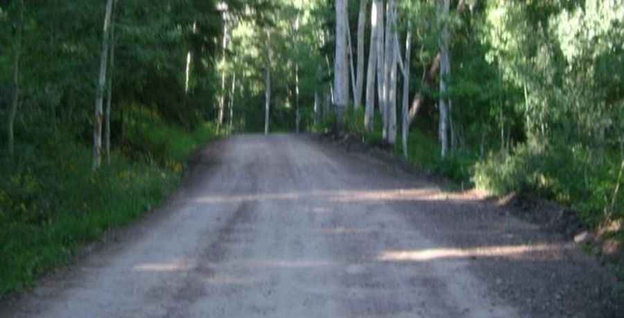
The road to the summit is totally unpaved. It’s called Forest Road 0005. It can get a little rough at times. It’s curvy and steep in parts. The road is 2.41km (1.5 miles) long. The road climbs in elevation rapidly by way of switchbacks.
Can I drive my vehicle to Petes Hole Reservoir?
When it is dry, probably most vehicles could make it, but travel at your own risk, as conditions change with weather and run off. Best done with a high clearance 4WD or such.
Is the road to Petes Hole Reservoir open year-round?
Set high in the Wasatch Plateau, the road is not plowed in winters. It’s best accessed from late June through early fall. Generally, the road is clear and open by Memorial Day.
Pic: Geovanni Rivas