Hawley Mountain
Hawley Mountain is a high mountain peak at an elevation of 2.223m (7,293ft) above the sea level, located in Boise County, in the U.S. state of Idaho.
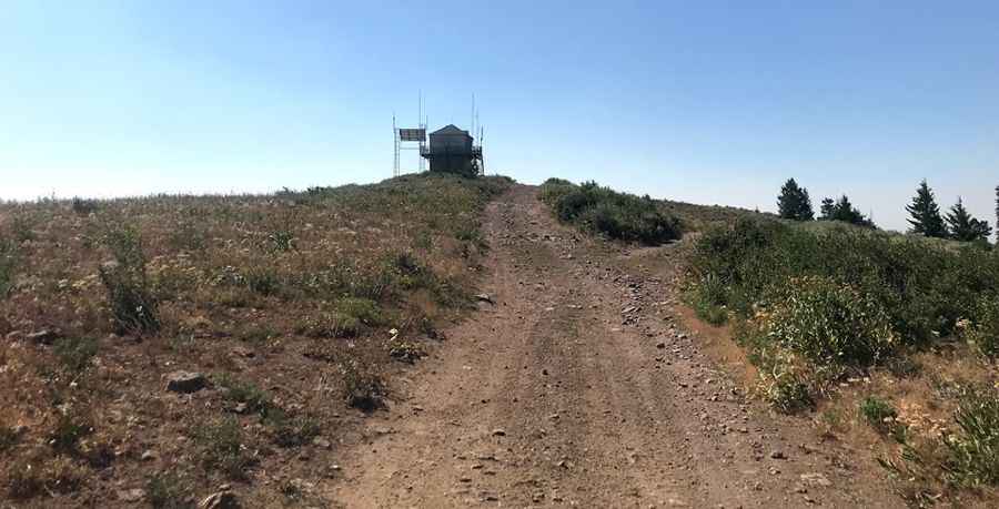
The road to the summit, located in the Boise National Forest, is gravel, rocky, tippy and bumpy at times. It’s called Forest Road 340, Hawley Mountain Road. Road conditions are always changing. Winter comes early and stays late on this trail, so you may only be able to safely run it in the middle of the summer. Avoid committing your vehicle to what is in front of you until you are sure of what you are getting into because things could get worse. This road leads to the summit in 10 narrow and sometimes rough miles. 4x4 vehicle required for the final switchback (1/5 of a mile from the lookout) because is pretty steep and rocky. The steep drive will take some skill, some patience, and some tolerance for vertigo. Stay alert for potential turnouts as you may meet traffic in inconvenient locations. At the summit there’s a lookout built in 1935.
Pic: Keaton Reed