The Chicken Corners Trail in Moab is a breathtaking road along the Colorado River
Chicken Corners Trail is a very scenic drive located in San Juan County, in the U.S. state of Utah. The road follows the Colorado River downstream.
Why is it called Chicken Corners?
It gets its name from a very narrow passage that overlooks the Colorado River where the “least” chicken was willing to pass.
Where is Chicken Corners Trail?
The road is located in the southeastern portion of Utah.
How long is Chicken Corners Trail in Moab?
The road is 23.81 km (14.8 miles) long running from Kane Creek Canyon Road to Fielder Natural Arch. This 4X4 route travels the Colorado River Canyon just below Moab, follows a spectacular part of Kane Springs Canyon, climbs the Kane Creek anticline to Hurrah Pass, and descends to benches above the Colorado River.
Is Chicken Corners Trail in Moab unpaved?
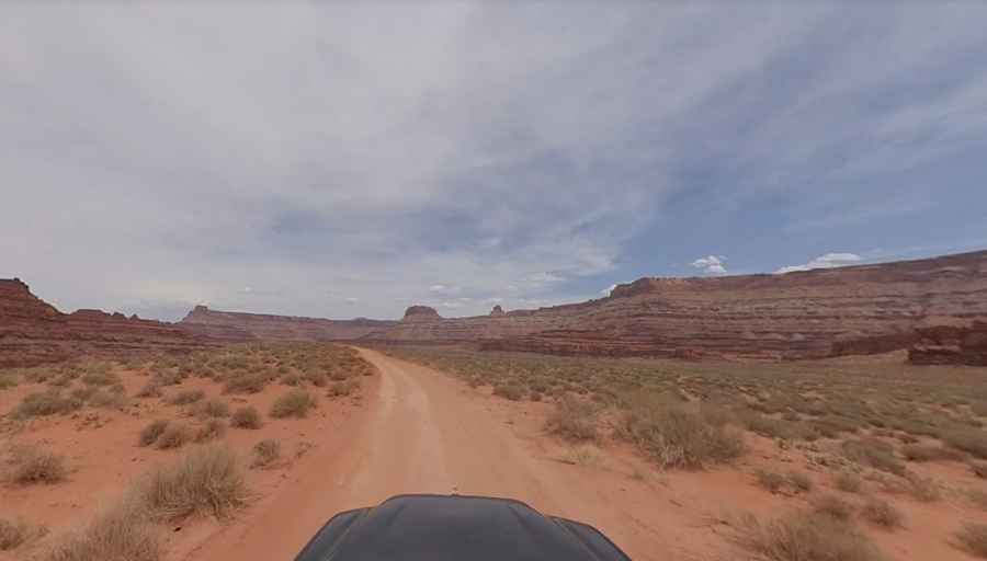
The road is entirely unpaved. It is mostly gravel but becomes mostly red dirt and sand with the occasional appearances of sandstone bedrock.
Is Chicken Corners Trail in Moab difficult?
The road is suitable for stock, high-clearance, 4x4 SUVs, but you might not use your 4WD. Low clearance vehicles should not attempt this. With the exception of a few moderate rocky spots, most of this trail is not difficult. The drive will definitely test a passenger’s trust in his driver since the river is about 5 ft. to the right and 450 feet straight down. This portion gives you a straight down view of the river way below. The road is quite wide as it crosses high above the Colorado River, but it's still very scary if you are not used to high shelf roads.
When is the best time to drive Chicken Corners Trail in Moab?
The road tops out at 1.364m (4,475ft) above sea level by Hurrah Pass. It can be accessed year round. Best driven in late spring and fall. Hot in summer. This is a wonderful drive best done early in the morning for good pictures and to avoid the traffic later in the day.
Is Chicken Corners Trail in Moab worth it?
It’s said to be one of the most scenic drives in Moab. The trail offers outstanding views of Utah country around Moab. Scenery is just dramatic. The view at Chicken Corners of the Colorado River is so gorgeous. The road ends at a dramatic cliff where a narrow foot trail inches around to a viewpoint near the Goose Neck. There are a few turns that may take your breath away looking straight down into the canyons but very worth it.
Where was Thelma & Louise filmed?
From Chicken Corners, look across river to see Thelma & Louise Point. (You'll appreciate this spot more if you've seen the movie). The final dramatic scene of the movie was shot there.
Pic: More To Living