How to drive the unpaved road to the lookout at Signal Peak in Arizona
Signal Peak is a high mountain peak at an elevation of 2.380m (7,808ft) above sea level, located in Gila County, in the US state of Arizona.
Where is Signal Peak?
The peak is located south of Globe, in the southeastern part of Arizona, within the Tonto National Forest.
Why is there a road to Signal Peak?
At the summit there is an active lookout tower, staffed on summers. Built in 1934, it replaced a wooden tower dating to 1920.
Is the road to Signal Peak unpaved?
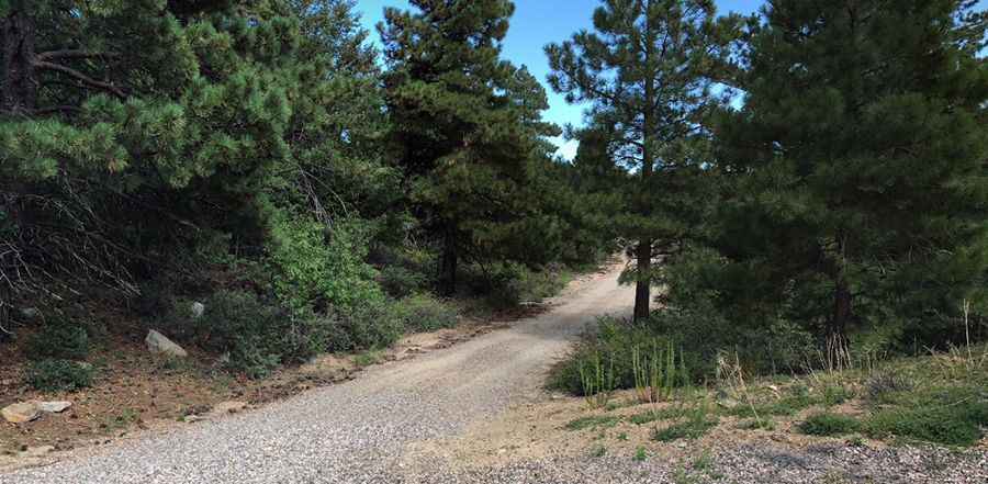
The road to the summit is totally unpaved. It features steep parts. A high clearance vehicle is required.
How long is the road to Signal Peak?
Starting from Forest Service Road 651, the road to the summit is 0.8km (0.5 mile) long. Over this distance, the elevation gain is 62m (203 ft) and the average gradient is 7.75%.
Is the road to Signal Peak open year-round?
Set high in the Pinal Mountains, the road is not plowed in winters. Make sure to check the weather before you go because it can differ massively from the temperatures down.
Pic: Adam Grab