How to drive the unpaved road to Sunset Pass in Utah?
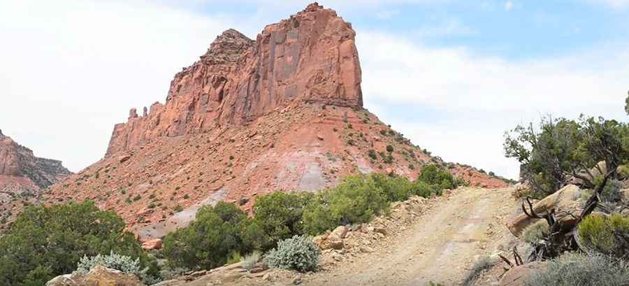
Sunset Pass is a high mountain pass an elevation of 1.806m (5,925ft) above sea level, located in Garfield County, in the US state of Utah. The road is normally an easy drive, but recommended doing it in dry weather. It may be washed out or impassable after rains.
Where is Sunset Pass?
The pass is located in the south-central part of Utah, within the Glen Canyon National Recreation Area.
How remote is Sunset Pass?
The road is pretty remote. You are 30-40 miles from any people (in the middle of nowhere). Bring plenty of fuel. It’s hardly used but the landscapes are breathtaking. No cell service.
Is the road to Sunset Pass unpaved?
The road to the summit is called NP730. It’s totally unpaved, gravel and rocky and has no maintenance. The road follows a series of turns along narrow cliffs that rose quickly in elevation.
Can I drive my vehicle to Sunset Pass?
Set high in the Colorado Plateau, the drive does not require shifting to four-wheel drive, but the lower gears come in handy for a few steep climbs and when you need to go slower through the rough areas.
How dangerous is Sunset Pass after rains?
Check the Dirty Devil river depth before you go. Take care in some of the washed-out areas to keep from getting hung up or slipping into a hole carved out by rushing waters during previous floods. Rainy weather can change conditions and turn the river into a raging killer. Definitely stay off this road during wet weather.
Pic&video: Julien CARON