How to drive the brutally steep road to Potosi Mountain South in Nevada
Potosi Mountain South is a high mountain peak at an elevation of 2.491m (8,172ft) above sea level, located in Clark County, in the US state of Nevada.
Where is Potosi Mountain South?
The peak is located southwest of Las Vegas, in the southern part of Nevada. The summit dominates the Las Vegas skyline and the views are tremendous.
Why is there a road to Potosi Mountain South?
At the summit there are some communication towers. To that end, a road was constructed from the south to allow service vehicles to rumble to the top. A number of mines exist on the slopes of the mountain. One such mine is the famous Potosi Mine. There are a number of small shelter caves on the mountain.
Is the road to Potosi Mountain South unpaved?
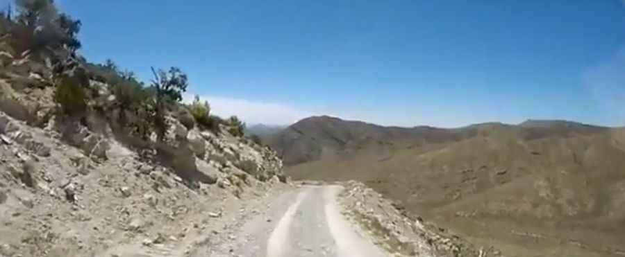
The road to the summit is totally unpaved. It’s called Radio Towers Road. It’s a steep service road, usually blocked with a gate. 4x4 vehicles only. It’s brutally steep.
How long is the road to Potosi Mountain South?
Starting from Forest Road 509 (Potosi Mountain Road), the road to the summit is 0.64km (0.4 mile) long. Over this distance, the elevation gain is 163m (535 ft) and the average gradient is 25.46%.
Is the road to Potosi Mountain South open year-round?
Set high at the southern end of the Spring Mountains, the road is not plowed in winters.
Pic&video: Roy Myers