How to drive the unpaved road to Gobblers Knob in California
Gobblers Knob is a high mountain peak at an elevation of 2.002m (6,568ft) above sea level, located in San Bernardino County, in the US state of California.
Where is Gobblers Knob?
The peak is located north of Riverside, in the southern part of California, within the San Bernardino National Forest.
Is the road to Gobblers Knob unpaved?
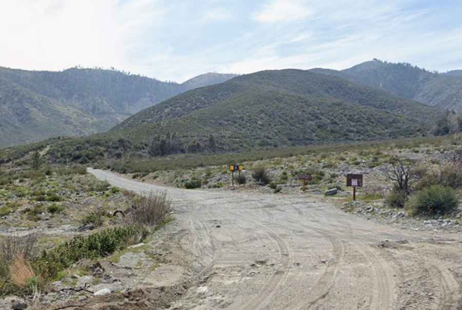
The road to the summit is totally unpaved. It’s called Service Road 3N31. The first few miles of service road (3N31) is exposed and once you're up on the ridge you are exposed as well. Presently a 4-wheel drive vehicle is not required and any durable high clearance could access.
How long is the road to Gobblers Knob?
Starting from the paved Lone Pine Canyon Road, the road to the summit is 5.63km (3.5 miles) long. Over this distance, the elevation gain is 445m (1,460 ft) and the average gradient is 7.90%.
Is the road to Gobblers Knob open year-round?
Set high in the San Gabriel Mountains, the road is not plowed in winters.