Darland Mountain is a truly outstanding 4x4 adventure in Washington
Darland Mountain is a high mountain pass at an elevation of 2,129m (6,984ft) above sea level, located in Yakima County, in the U.S. state of Washington. It’s one of the highest roads in Washington.
When was the road to Darland Mountain built?
The first road to the summit was built in the 1920s, and the summit was crowned with a lookout tower until 1966.
How long is the road to Darland Mountain?
Starting from Rimrock, the road to the summit is 51.33km (31.9 miles) long. And starting from Union Gap, the road is 62.76km (39.0 miles) long.
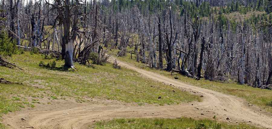
Is the road to Darland Mountain unpaved?
The road to the summit is entirely unpaved. It’s a good road with a few rough spots. To reach the summit, you’ll need a 4-wheel drive because the last couple of miles are extremely rocky. You'll need a Forest Service map to complete the drive.
Is the road to Darland Mountain open?
Set high on the west side of the Ahtanum State Forest along Divide Ridge, the road is usually impassable from October to June. It’s said to be the highest point accessible by automobile in Yakima County.
Is the road to Darland Mountain worth it?
The journey offers superb views and is one of the most commanding views of the Cascade Range. This is definitely one road trip that you want to record with lots of photographs. A drive not to be missed. On a clear day, the sights include Darland Mountain, and you can see Mt. Rainier, Mt. St. Helens, Mt. Adams, Mt. Hood, Mt. Jefferson, the Goat Rocks, and the Yakima Valley. In fact, you can view the entire Cascade chain from Oregon to the Canadian border on a clear day.
Road suggested by: Jacob Tyree
Pic: https://johncarroutdoors.com/2013/09/07/memories-of-darland-mountain/