How to drive the unpaved road to London Mountain in Colorado
London Mountain is a high mountain peak located in Park County, in the U.S. state of Colorado. East of the summit, an old mining road climbs up to at an elevation of 3.695m (12,122ft) above sea level. It’s one of the highest roads of Colorado.
Where is London Mountain?
The peak is located west of Alma, in the central part of Colorado, within the Pike National Forest.
Is the road to London Mountain unpaved?
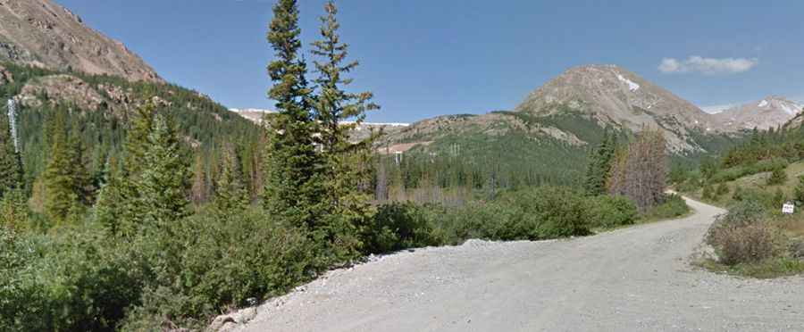
The road to the summit is totally unpaved, narrow and steep. It’s called County Road 696. The road ends at the base of the west ridge of this mountain. It’s an old mining road and definitely needed 4WD and high clearance.
Is the road to London Mountain open year-round?
Set high in the Mosquito Range, snow is usually not plowed, so trail opens later in the season. Conditions can change rapidly, be careful of the weather. Access through snow can change daily.
How long is the road to London Mountain?
Starting from Mosquito Pass Road, the road to the summit is 3.21km (2.0 miles) long. Over this distance, the elevation gain is 321m (1,056 ft) and the average gradient is 10%.