Travel Guide to the Top of Colorado Mines Peak
Colorado Mines Peak is a high mountain peak at an elevation of 3,812m (12,506ft) above sea level, located in Clear Creek County, in the U.S. state of Colorado. The drive offers amazing views in nearly every direction. It’s one of the highest roads in Colorado.
Where is Colorado Mines Peak?
The peak is located in the central-north part of Colorado, within the Arapaho National Forest.
Why is it Called Colorado Mines Peak?
The peak is named because the Colorado School of Mines maintains a weather station at the summit.
What’s at the Summit of Colorado Mines Peak?
The summit is crowned with an array of communications towers and other equipment, most of which were built in the 1950s. There are great views in all directions, assuming you can overlook the telecommunication facilities.
Is the Road to Colorado Mines Peak Unpaved?
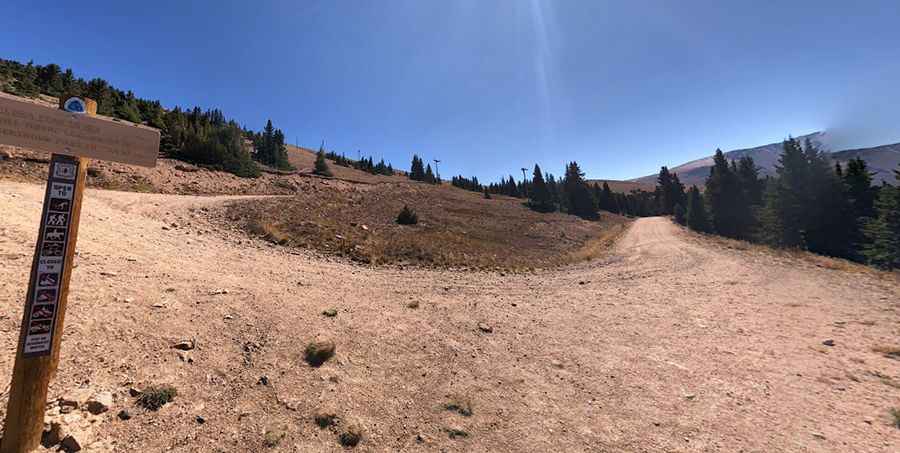
The narrow road to the summit is completely unpaved. It’s a service road called Colorado Mines Peak Road, and it is closed to private vehicles. The road features several very long switchbacks, and a 4x4 vehicle is required.
How Long is the Road to Colorado Mines Peak?
The road is very steep. Starting at Berthoud Pass, the ascent is 2.0 miles (3.21 km) long. Over this distance, the elevation gain is 360 meters, with an average gradient of 11.21%.
Is the Road to Colorado Mines Peak Open in Winter?
Set high in the Rocky Mountains of central Colorado, the road is usually not plowed in winter, so the trail opens later in the season. The snow-free season runs from late June through early October. Access through snow can change daily, and it’s usually very windy at the top.
Pic: Tony Webster