How long is the unpaved road to La Junta Peak in Colorado
La Junta Peak is a high mountain peak at an elevation of 3.926m (12,880ft) above sea level, located in San Miguel County, in the U.S. state of Colorado. It’s one of the highest roads in Colorado.
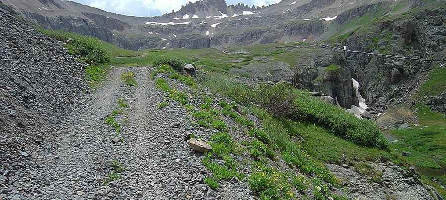
Where is La Junta Peak?
Set high in the San Juan Mountains, the peak is located in the southwestern part of Colorado, within the Uncompahgre National Forest.
Is the road to La Junta Peak unpaved?
The road to the summit is totally unpaved. It’s an old mining road. Along the way the trail passes historic mining structures including the remains of an old tram, mining cabins and a bunkhouse. It features very steep parts and 29 hairpin turns. It’s closed to motor vehicles.
How long is the road to La Junta Peak?
Starting from Wasatch Trail, the road to the summit is 5.4 km long. Over this distance, the elevation gain is 1014m and the average gradient is 18.77%. There’s a gate on the last part of the road.
Pic&more info: http://mtsrool.blogspot.com/2008/08/blue-lake-hike.html