How to drive the unpaved road to Ord Mountain in California
Ord Mountain is a high mountain peak at an elevation of 1.380m (4,527ft) above sea level, located in San Bernardino County, in the U.S. state of California.
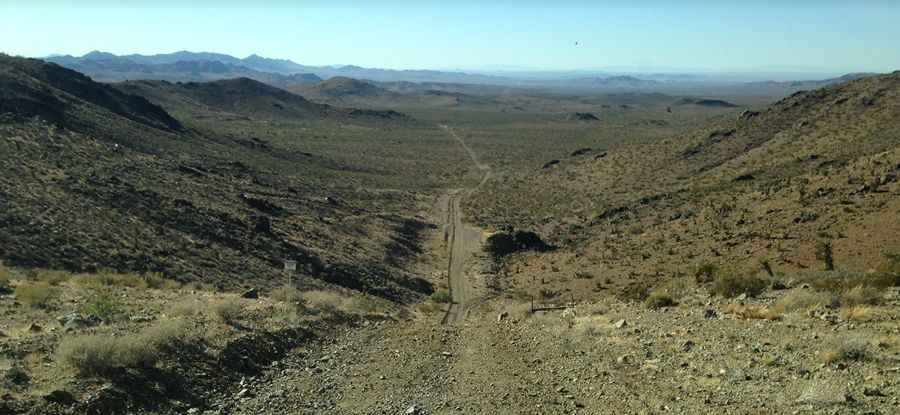
Where is Ord Mountain?
The peak is located in the southern portion of California, within the San Bernardino National Forest. It offers spectacular views of the San Bernardino snow-capped mountains to the south, the Ord mountain range to the east and west and a captivating view of Tyler Valley to the north west.
Is the road to Ord Mountain unpaved?
Located in the Mojave Desert, the road is totally unpaved. It’s called Hamburger Hill Off Road Trail. It’s an old mining road with miles of sandy washes. A 4x4 vehicle is required. The trail follows numerous remnants of California's mining heritage.
How long is the road to Ord Mountain unpaved?
Starting from Camp Rock Road, the road to the summit is 3.9 km long. Over this distance, the elevation gain is 163 m and the average gradient is 4.17%.
Is the road to Ord Mountain open year-round?
Set high in Lucerne Valley, in the San Bernardino Mountains, the road is open year-round.
Pic: Chris Loomis