A memorable road trip to Santa Rosa Mountain in CA
Santa Rosa Mountain is a high mountain peak at an elevation of 2.456m (8,057ft) above the sea level, located in Riverside County, in the southern portion of the U.S. state of California.
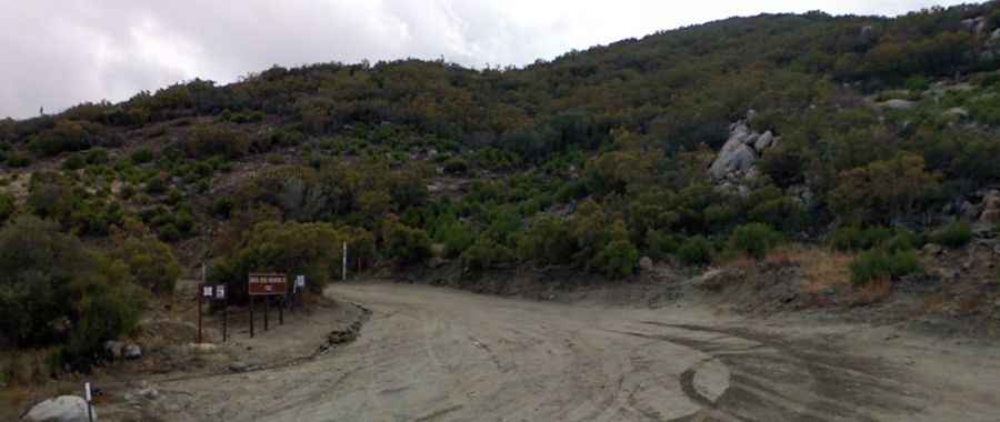
Tucked away in San Bernardino National Forest, in the southern part of the US state of California, the road to the summit is totally unpaved. It’s called Santa Rosa Road (7S02). The road is dirt and moderately bumpy, so high-clearance is mandatory and 4-wheel drive is strongly recommended. This road may be closed during times of high fire danger or rainy weather.
Set high in the Peninsular Ranges system, the road to the summit is pretty steep, hitting a 13% of maximum gradient through some of the ramps. Starting at the paved CA-74, the ascent is 16.41km (10.2 miles) long. Over this distance the elevation gain is 1058 meters. The average gradient is 6.44%. The road is usually closed each winter if snow and ice create dangerous conditions. There are sections where the road is very narrow so be careful and mindful of oncoming drivers.