Driving the steep unpaved road to Hull Mountain in California
Hull Mountain is a high mountain peak at an elevation of 2,092m (6,863ft) above sea level, located in the U.S. state of California.
Where is Hull Mountain?
The peak is located on the boundary between Mendocino and Lake Counties, in the southwest part of the Mendocino National Forest.
Is the road to Hull Mountain in California unpaved?
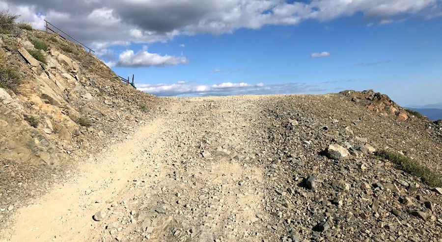
Yes, the road to the summit, known as Hull Mountain Road (Forest Road M1), is entirely unpaved and narrow. There is no cellphone service, and a 4x4 vehicle is necessary due to the steep and rough gravel road.
Is Hull Mountain in California open?
Located on the north coast of California, the road often becomes impassable from October to June due to snow at higher elevations. The area can also get very hot in summer.
How long is the road to Hull Mountain in Mendocino National Forest?
Starting from Eel River campground on Mendocino Pass Road, the road to the summit is 50.21 km (31.2 miles) long, with an elevation gain of 1,629 meters.
Is the road to Hull Mountain in California worth it?
At the summit, only the concrete foundation of a fire lookout tower built in 1974 remains. The views are impressive; on clear days, you can see Lassen Peak to the north, the Sierras to the east, and nearby peaks of the Mendocino National Forest.
Pic: Wez So_N_So