How to drive the unpaved road to Mount Bachelor in Oregon?
Mount Bachelor is a stratovolcano at an elevation of 2.461m (8,074ft) above sea level, located in Deschutes County, in the US state of Oregon. It’s one of the highest roads of Oregon.
Where is Mount Bachelor?
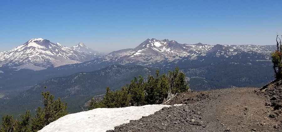
The peak is located west of the city of Bend, in the west-central part of Oregon. Some excellent views at the summit.
Is the road to Mount Bachelor?
The road to the summit is totally unpaved. It’s a chairlift access trail. The driving surface consists of jagged volcanic stone shards, deep loose cinders, and unstable basalt scree. It features dozens of hairpin turns. The route is a narrow single-track ledge with steep, unprotected drop-offs falling directly down the volcanic slopes.
How long is the road to Mount Bachelor?
Starting from Cascade Lakes National Scenic Byway, the road to the summit is 6 km long. Over this distance, the elevation gain is 800 m and the average gradient is 13.33%.
Is the road to Mount Bachelor open in winter?
Part of the Cascade Volcano chain, heavy winter snowpacks and late-season snowdrifts block the track well into July.
Pic: Sam M