How to drive the unpaved road to Red Mountain in Montana?
Red Mountain is a high mountain peak at an elevation of 2.962m (9,717ft) above sea level, located in the US state of Montana.
Where is Red Mountain in Montana?
The peak, also known as Devil's Peak, is located south of Butte, on the boundary between Silver Bow and Jefferson counties, in the southwestern part of Montana, within the Beaverhead-Deerlodge National Forest.
Why is there a road to Red Mountain in Montana?
At the summit there’s a lookout tower built in 1954 which replaced an L-4 groundhouse built in 1933. It’s known as Highland Lookout Tower. It provides great views of the surrounding mountains.
What's the Boy Scout Memorial?
At the top of the mountain, next to the Highland Lookout Tower, there is a monument dedicated to a lightning strike that occurred on August 22, 1922. During a hike, a lightning bolt struck a group of Boy Scouts from Butte. Henry Heidemann died at the scene, and other scouts were injured. The survivors walked down the mountain in the dark to find help. The monument was installed in 2022.
Is the road to Red Mountain in Montana unpaved?
The road to the summit is totally unpaved. It’s called Fish Creek Road. It comprises narrow parts and steep sections, with many hairpin turns near its end. A 4x4 vehicle with high clearance is required.
How long is the road to Red Mountain in Montana?
Starting from Roosevelt Drive, the road to the summit is 17.38km (10.8 miles) long. Over this distance, the elevation gain is 972m (3,189 ft) and the average gradient is 5.59%.
Is the road to Red Mountain in Montana open in winters?
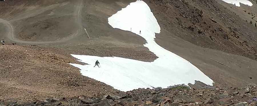
Set high in the Highland Mountains of the Rocky Mountains, the road is not plowed. The area receives heavy snowfalls and it’s usually impassable from October to June.
Pic: david williams