How to drive the unpaved road to the lookout at Wildhorse Peak in Idaho
Wildhorse Peak is a high mountain peak at an elevation of 2.913m (9,557ft) above sea level, located in Custer County, in the US state of Idaho. It’s one of the highest roads in Idaho.
Where is Wildhorse Peak?
The peak is located in the central part of Idaho, within the Sawtooth National Forest.
Why is there a road to Wildhorse Peak?
At the summit there’s a lookout tower built in 1935 and abandoned in 1946. It was restored in the 1970s.
Is Wildhorse Peak worth the drive?
The views from the lookout are incredible. Located between the Lost River Range and the Pioneer Mountains, the summit provides excellent views of the core peaks of each range. It’s a great vantage point for beautiful mountain views in all directions.
Is the road to Wildhorse Peak unpaved?
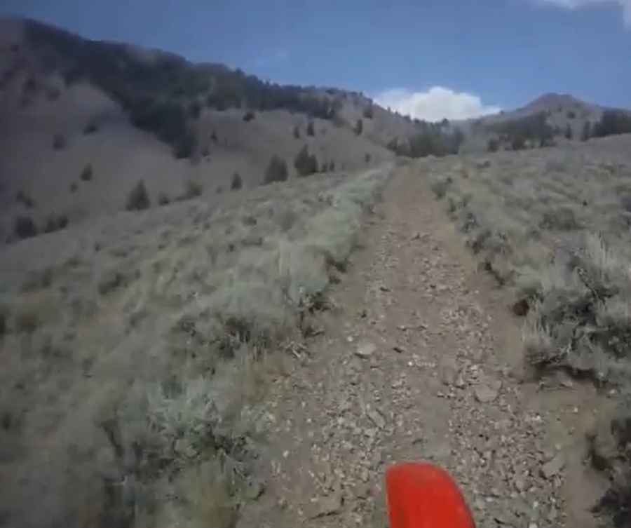
The road to the summit is totally unpaved, rocky, narrow and very steep in parts. A 4x4 vehicle is required.
How long is the road to Wildhorse Peak?
Starting from East Fork Road, the road to the summit is 6.2 km long. Over this distance, the elevation gain is 772 m and the average gradient is 12.45%.
Is the road to Wildhorse Peak open year-round?
Set high in the White Knob Mountains, the road is not plowed in winters.
Pic&video: Matt Pope