How to drive the unpaved road to North Rim Lookout in Arizona
North Rim Lookout is a high mountain lookout tower at an elevation of 2.798m (9,179ft) above sea level, located in Coconino County, in the US state of Arizona. It’s one of the highest roads of Arizona.
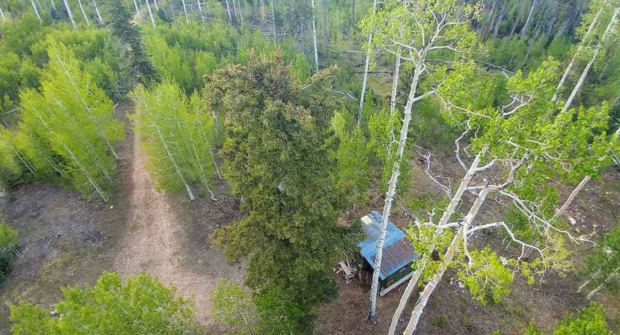
Where is North Rim Lookout?
The mountain is located north of Grand Canyon Village, in northern Arizona, within the Kaibab National Forest.
When was the lookout built?
At the summit there is a lookout tower built in 1928 (originally constructed at Bright Angel Point and relocated here in 1933), formerly known as Bright Angel Point Fire Tower. It offers tremendous views to the east, south, and west. The tower is also famous for having served as a seasonal fire lookout post for the iconic author and environmentalist Edward Abbey during the late 1960s and 1970s, an experience he wrote about in Abbey's Road.
Is the road to North Rim Lookout unpaved?
The road to the summit is totally unpaved. A 4x4 vehicle with high clearance is required.
How long is the road to North Rim Lookout?
Starting from the paved Arizona State Route 67, the road to the summit is 2.3 km long. Over this distance, the elevation gain is 105 m and the average gradient is 4.56%.
Is the road to North Rim Lookout open year-round?
Set high on the Kaibab Plateau, the road is not plowed in winters. Expect frequent lightning strikes.
Pic: Heather Myers