How to drive the unpaved road to Reno Lookout in Arizona?
Reno Lookout is a high mountain lookout tower at an elevation of 2.775m (9,104ft) above sea level, located in Greenlee County, in the US state of Arizona. It’s one of the highest roads of Arizona.
Where is Reno Lookout?
The lookout, built in 1965, is located in the southeastern part of Arizona, within the Apache-Sitgreaves National Forests.
Is the road to Reno Lookout unpaved?
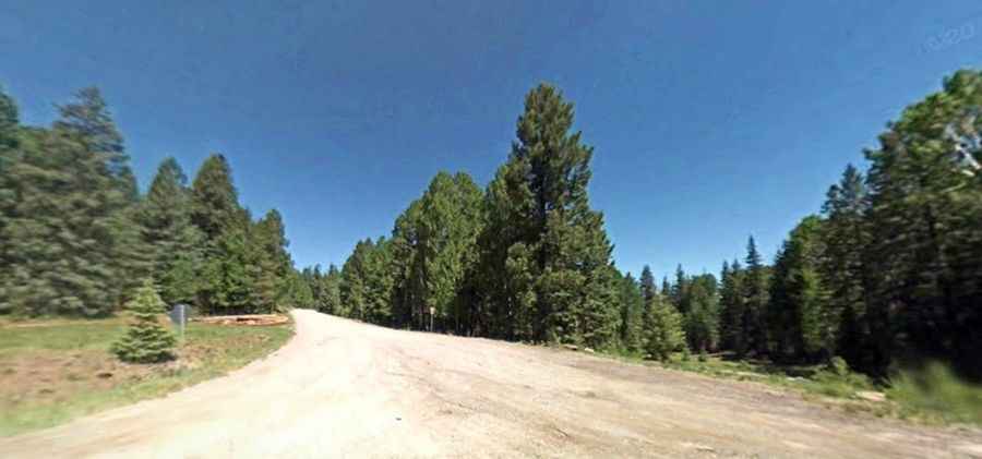
The road to the summit is a good gravel forest road. It’s called County Road 25C (Reno Lookout road). It comprises narrow parts and steep sections. A 4x4 vehicle is required.
How long is the road to Reno Lookout?
Starting from the paved US-191, the road to the summit is 10.3 km long.
Is the road to Reno Lookout open year-round?
Set high in the White Mountains-Blue Range, the road is not plowed in winters.